
The mystery of the "Avenue of the Dead" in Teotihuacan
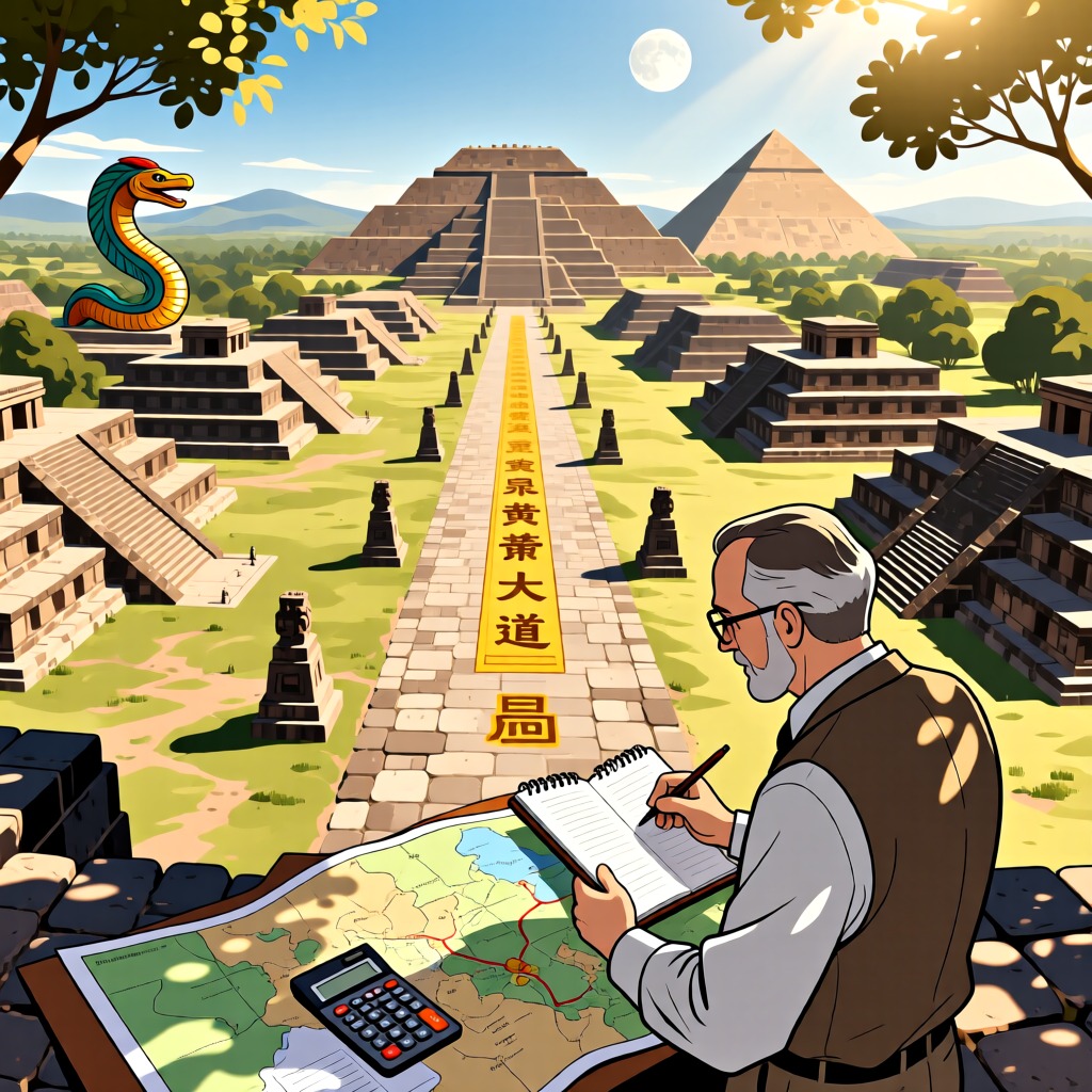
In South America, the sudden disappearance of many indigenous civilizations has left numerous unsolved mysteries. Among them, the ancient city of Teotihuacan in Mexico stands out as particularly enigmatic. This city features a wide avenue known as the "Avenue of the Dead," which is said to be named after Aztec legends that claim the buildings on either side of the avenue are the tombs of gods.
In 1974, a researcher named Hugh Harleston made a startling discovery: the streets and buildings of Teotihuacan were constructed using a unified measurement unit of 1.059 meters. Through calculations, he found that the positions of the buildings along the avenue corresponded to the orbital data of the planets in our solar system. For instance, the distance from Earth to the Sun is represented by 96 units, Venus by 72 units, and Mercury by 36 units, with even the orbital distances of Pluto and Neptune finding their places along the avenue.
This discovery sparked widespread discussion. If these numbers are not mere coincidence, then the designers of Teotihuacan clearly had a profound understanding of planetary movements in the solar system. However, it wasn't until the late 18th century that humanity began to uncover these planetary details. So, how did these ancient architects acquire such precise data?