
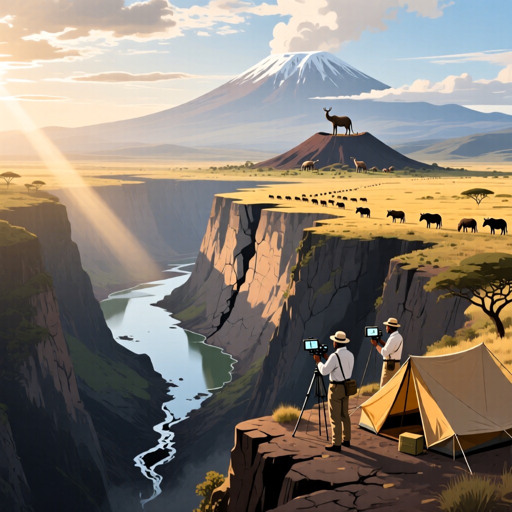

The Great East African Rift stretches over 6,700 kilometers across more than 20 countries, from Syria in the north to Mozambique in the south, resembling a massive scar on the Earth's surface. This rift is over 100 kilometers wide, with cliffs rising 450 to 800 meters from the plateau to the valley floor, creating a breathtaking and grand landscape. It is not only the largest rift valley in the world but also conceals the Earth's lowest point, the highest volcano, and the largest lakes.
The Great East African Rift is more than just a simple valley; it features complex terrains, including plateaus and mountains, and even splits into two branches in southern Ethiopia before reuniting at the border of Tanzania and Uganda. Lakes such as Lake Tanganyika, Lake Malawi, and Lake Victoria within the rift have developed unique biodiversity due to their isolation from the surrounding arid deserts. Lake Victoria, the youngest of these, is only about 750,000 years old, and its changes reflect the fascinating processes of geological evolution.
Volcanic activity is frequent in the Great East African Rift, with Mount Kilimanjaro and Mount Kenya located along the rift axis. The Ngorongoro Crater has become one of Africa's best wildlife reserves, while the Serengeti Plain hosts a hundred times more animals than Ngorongoro. Throughout history, the Great East African Rift has been a focal point for scientific exploration, and today, scientists are conducting surveys to uncover its mysteries.
Some speculate that the Great East African Rift may eventually transform into an ocean, while others believe it is merely a temporary subsidence of the crust that could later rise again, forming mountains. The future fate of the Great East African Rift remains an unsolved mystery.