
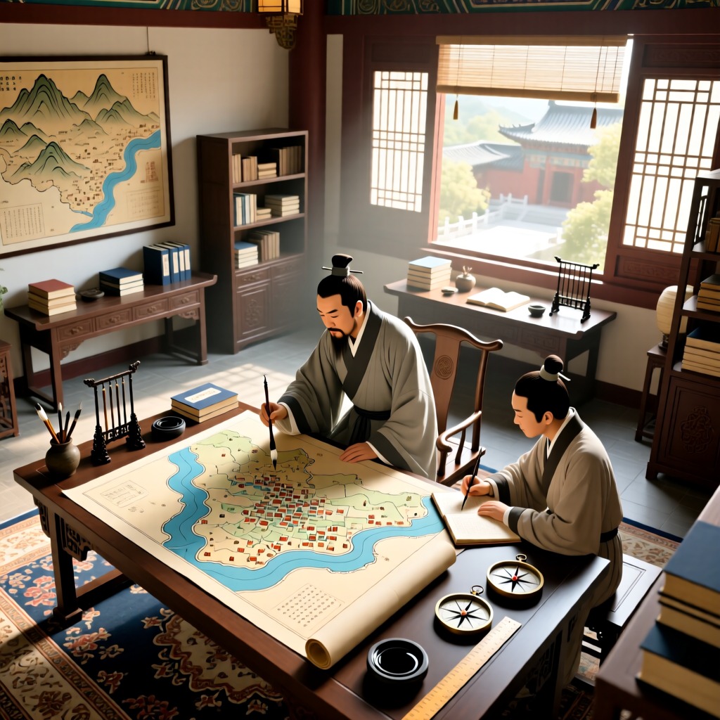

Since ancient times, people have sought an intuitive way to record the complex and diverse geographical information. The earliest attempts were oral descriptions, but this method was difficult to disseminate widely. With the advent of writing, while records became more detailed, they still required readers to use their imagination. It wasn't until the invention of maps that people had a tool to directly display geographical features. According to the 'Book of Documents', as early as the Zhou Dynasty, Duke of Zhou created a site selection map of Luoyang and presented it to King Cheng. This indicates that over 3,000 years ago, the Chinese had already mastered the art of map-making.
By the Jin Dynasty, Pei Xiu further improved map-making techniques and proposed the 'Six Principles of Cartography', making maps more accurate and reliable. His methods not only had a profound impact in China but also spread to the West, promoting the development of cartography in Europe. From the Six Dynasties to the Yuan and Ming Dynasties, the technology of map-making in China continuously advanced, leaving behind precious historical documents such as the 'Map of China and Foreign Lands' and 'Map of Yu's Tracks'. These maps not only showcased the geographical landscape of their time but also provided valuable references for future research.