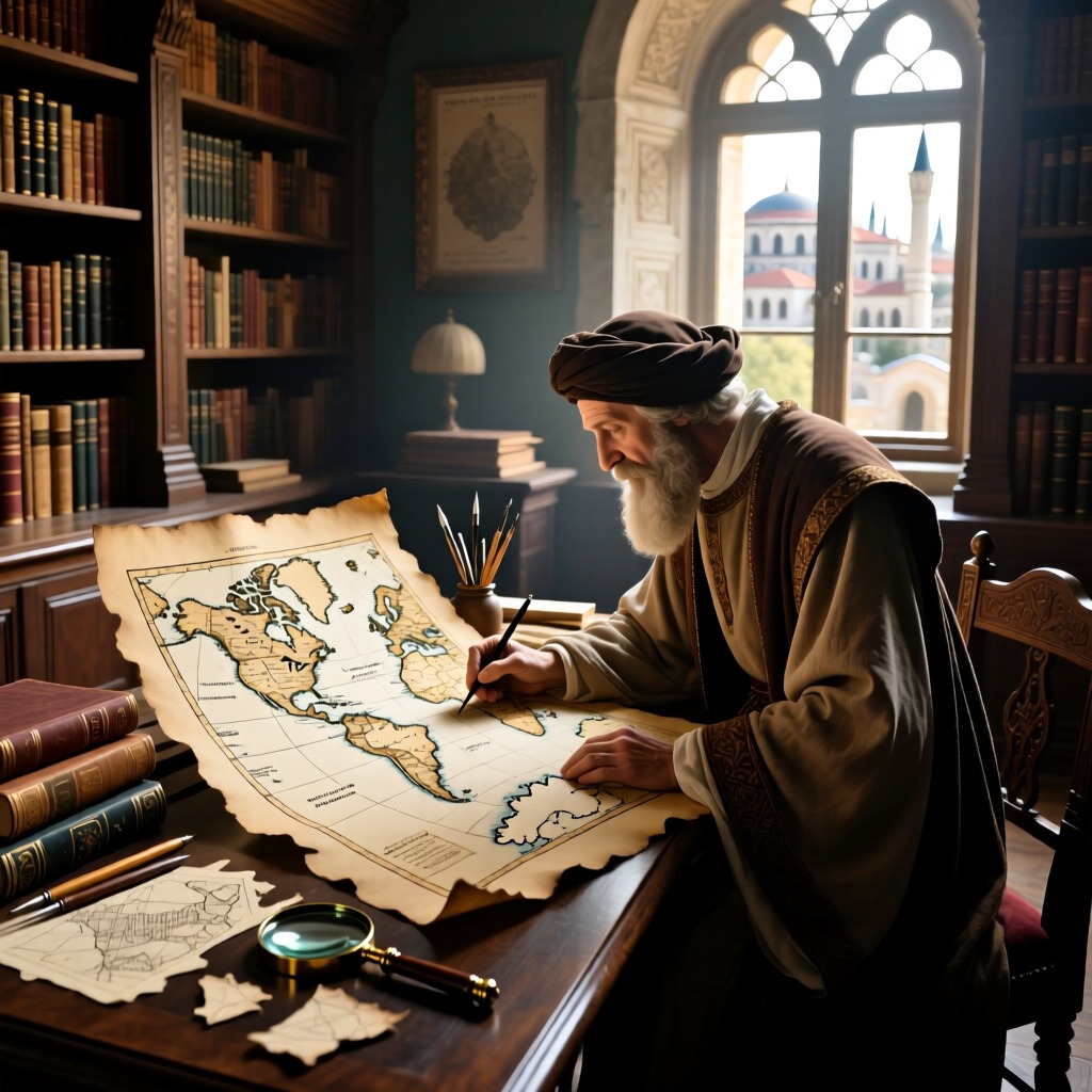

In the Seljuk Library of Istanbul, Turkey, a maritime map drawn on parchment has captured public attention. This map, created in 1513, is believed to be based on an original work from ancient times. It accurately depicts the outlines of continents on both sides of the Atlantic Ocean, particularly highlighting areas such as the Amazon River basin, the Gulf of Venezuela, and Cape Horn in South America. Even more astonishing is the clear representation of the entire Antarctic continent, which was considered unbelievable at the time.
The map was created by Reis, a famous Greek pirate, and has left many puzzled. The depiction of Antarctica not only aligns with modern maps but also illustrates the coastlines of the Antarctic continent, which are currently covered by ice. Reis claimed that he referenced 20 nautical charts in creating this map, 8 of which date back to before Christ. The precision of these ancient maps is astonishing, showing Antarctica's actual coastline and internal topography without glacial coverage, completely consistent with modern exploration data.
The existence of these ancient maps has sparked widespread discussion among scientists. They speculate that these maps could be reproductions of aerial photographs or works created by prehistoric peoples. The detail and accuracy of these maps make it hard to believe they were made by medieval individuals, thus the identity of the creators of these ancient maps remains an unsolved mystery.