
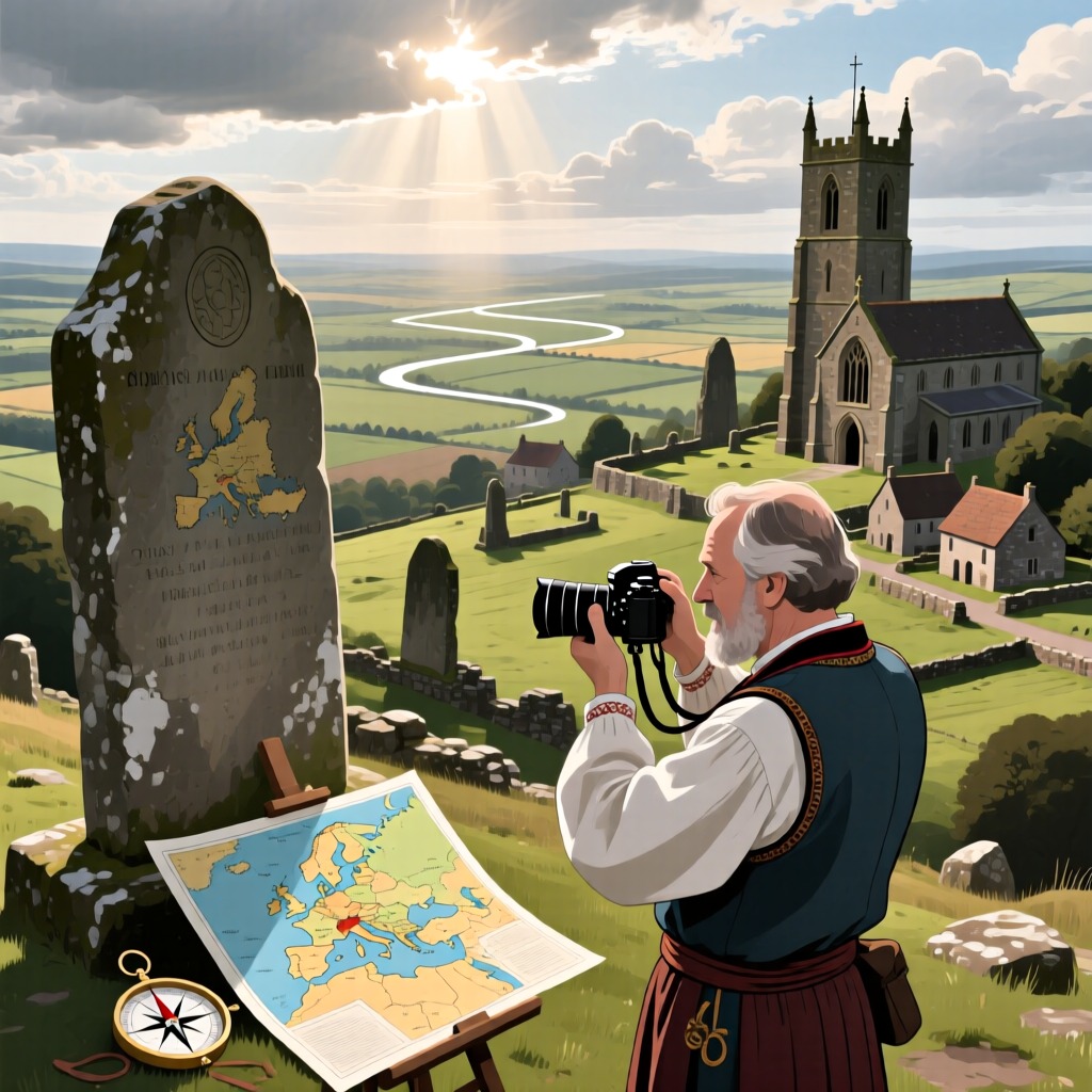

The landscapes of Europe conceal astonishing geometric patterns that seem to be remnants of ancient civilizations. As early as the Stone Age, humans drew complex networks on the ground, formed by intersecting straight lines that extend for thousands of kilometers. It wasn't until 1921 that British photographer Alfred Watkins discovered these lines while exploring, revealing that they not only traversed numerous archaeological sites but also connected many significant landmarks.
For instance, starting from the Stonehenge circle in England, a straight line passes through the ruins of Old Sarum and leads to the Colosseum in Cirencester, uncovering that all these locations were sacred sites for prehistoric humans. In Germany, a similar network of straight lines exists, stretching approximately 300 kilometers from the Neroberg in Wiesbaden to Walhalla, passing several important sites along the way. In Spain, on the 'Star Road' at latitude 42°46′, every village name contains the word 'star', indicating that each location was once a pagan sanctuary.
What secrets lie behind these mysterious lines and geometric patterns? How were they drawn with such precision? These questions continue to puzzle scholars. Additionally, near the Egenstein Church in northern Karlsruhe, a pentagram pattern was discovered, with its length ratio conforming to the golden ratio. This finding has sparked further speculation about the wisdom and technology of ancient civilizations.