
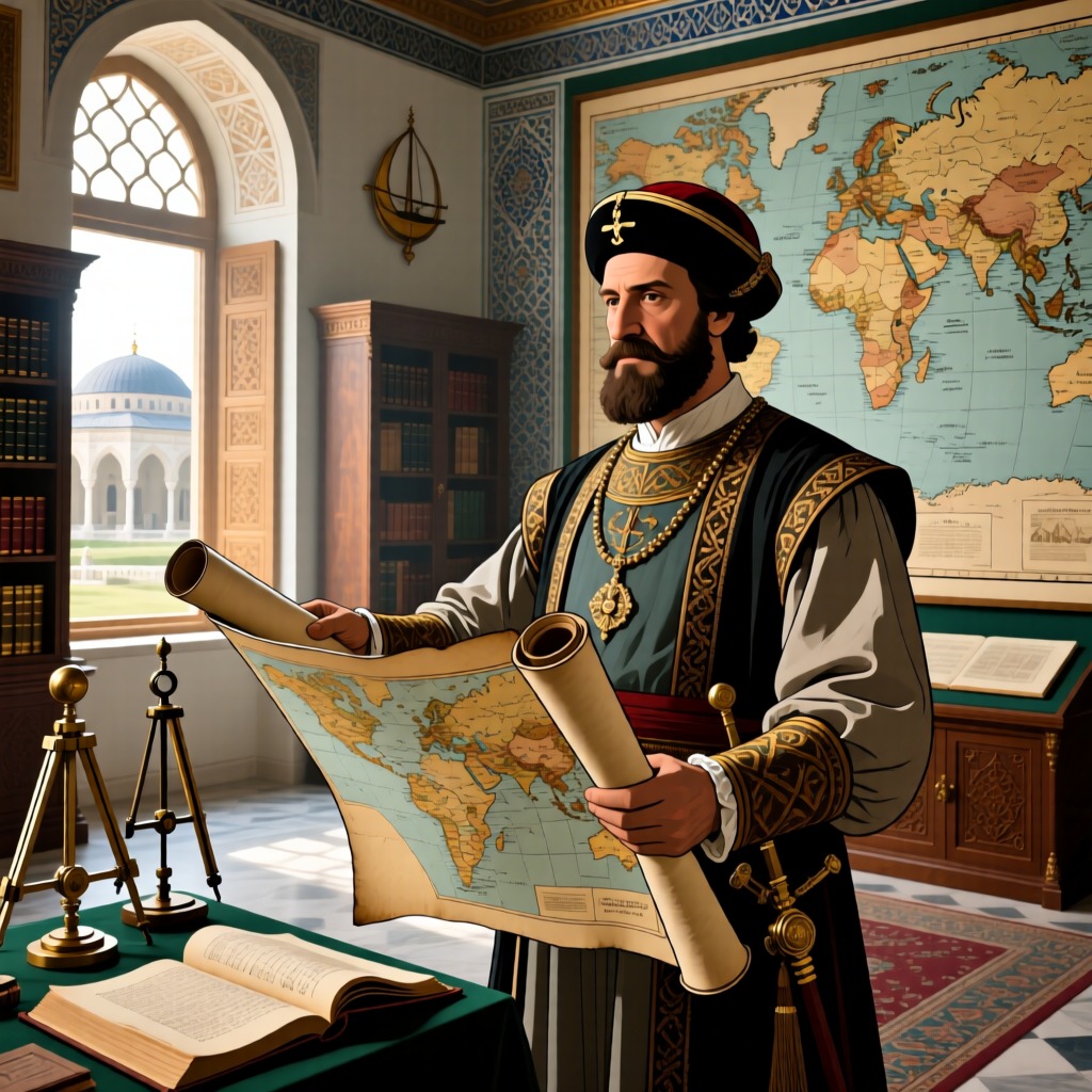

The mystery of ancient maps is not just a geographical puzzle; it is an unresolved enigma of human history and culture. From the 1502 map of the King of Portugal to the 16th-century Piri Reis Antarctic map, and the 1733 Bock map, these ancient maps depict a vastly different landscape of Antarctica compared to modern understanding, sparking endless imagination about ancient civilizations.
The King of Portugal's map marks the Sahara Desert area as a fertile oasis, aligning with modern climatological studies. Meanwhile, Piri Reis's Antarctic map astonishingly illustrates Antarctica before it was covered by glaciers. Reis claimed to have referenced 20 ancient sea maps, including some from before Christ, and his map is preserved in the Topkapi Palace in Istanbul, still astonishing geographers today.
In 1956, American expert Morley authenticated Reis's Antarctic map and found that the topographical features of Antarctica depicted on the map were remarkably consistent with modern survey results. This not only indicates that Reis possessed advanced geographical knowledge but also suggests that advanced cartographic techniques may have existed in ancient times. Reis's Antarctic map has been studied by various scholars, including Professor Hapgood and Strochin, who believe the map's accuracy is unbelievable, even speculating that it could be a reproduction made using aerial photography techniques.
Researchers have also discovered that these ancient maps not only depict Antarctica but also reveal ancient geographical phenomena, such as the land bridge between Alaska and Asia, as well as regions of Northern Europe and Greenland that were not covered by glaciers. These findings provoke thoughts about ancient civilizations: did they disappear, or did external civilizations bring this knowledge?
Faced with these ancient maps, one cannot help but question: did our ancestors possess technologies and knowledge that we today cannot comprehend? These mysteries await further scholarly exploration.